


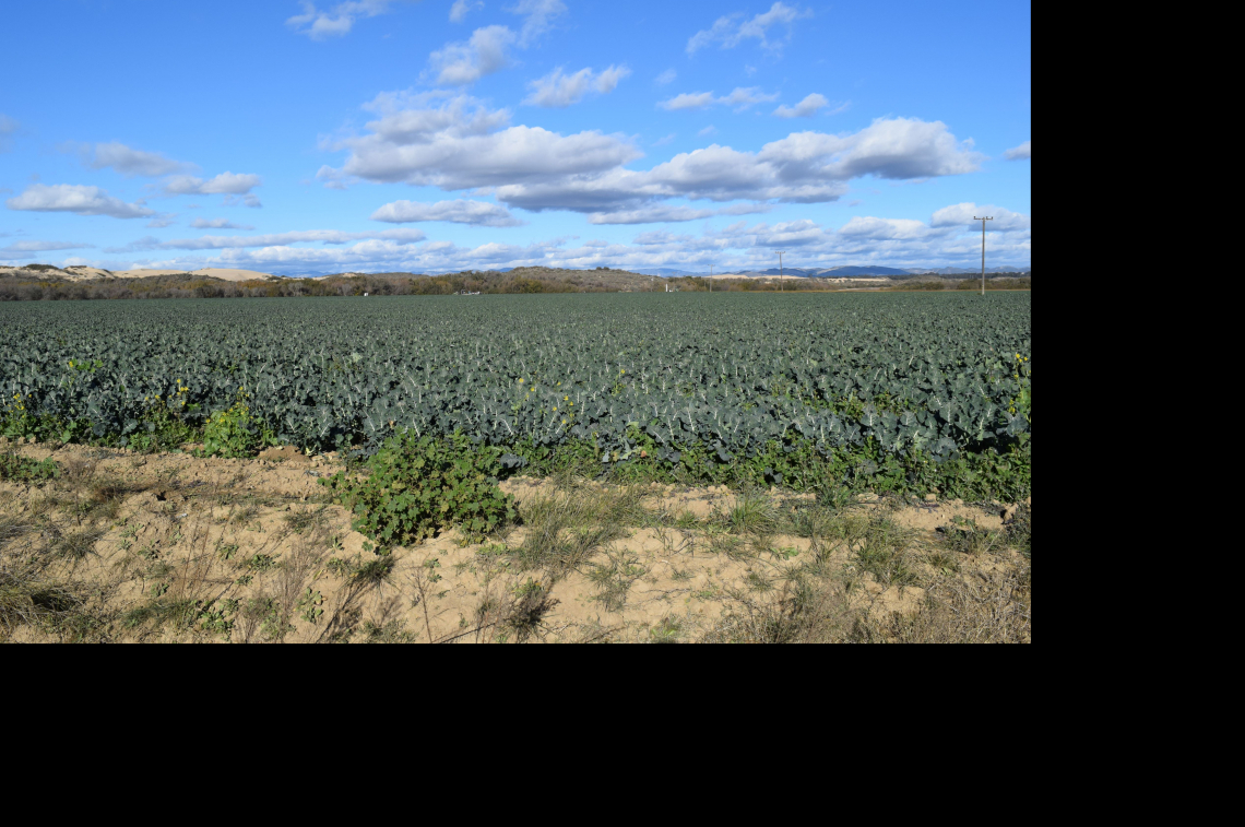
San Luis Obispo County (SLO), CA is a highly productive agricultural area, producing an estimated seven pounds of fruits and vegetables per resident per day...Read more
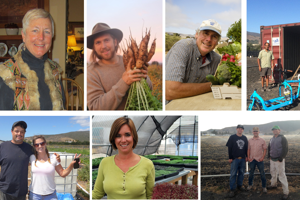
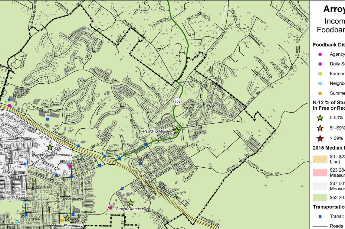
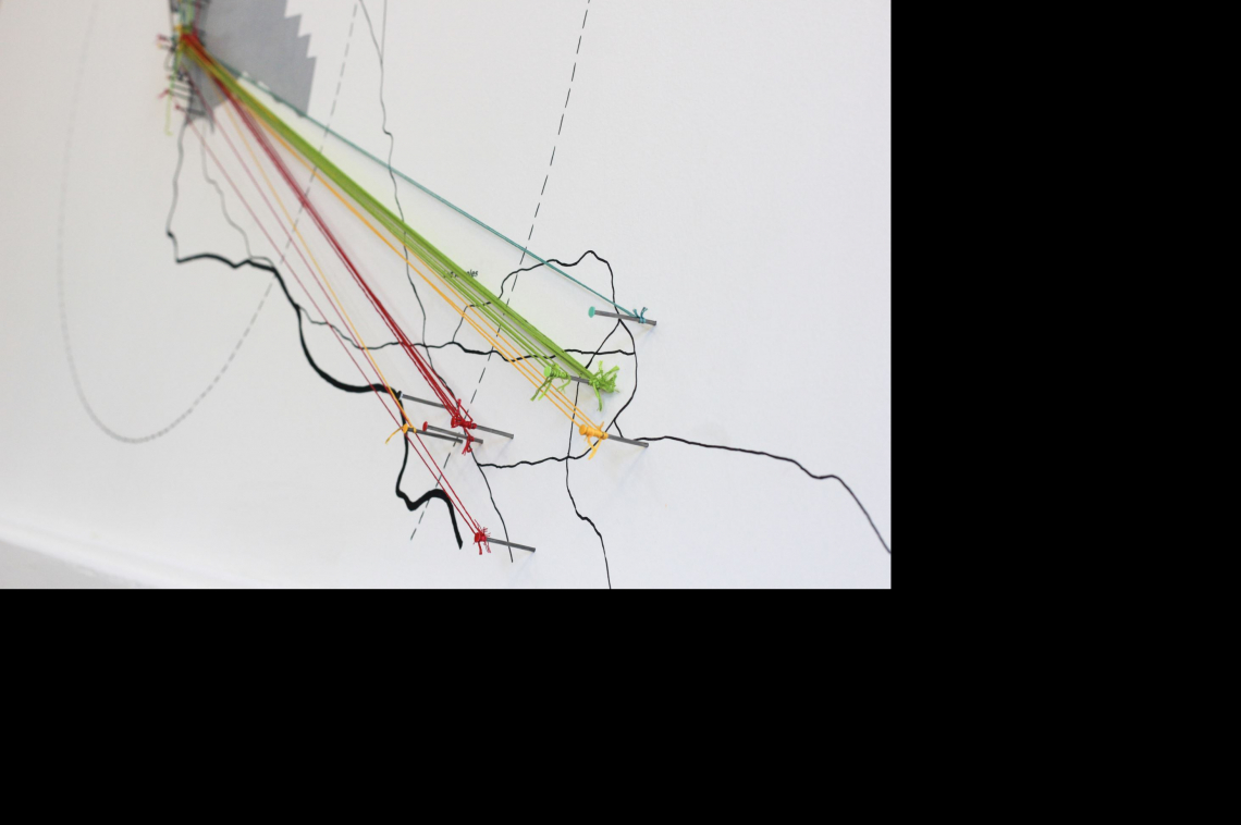

Despite being a largely agricultural county only 3% of locally grown food is consumed within the county. Community food activists are working to create a local food distribution network at the county level. SLO Map will support community efforts already underway by mapping food resources and system flows, conducting interviews and creative workshops to explore understandings of food/place across the county, and developing installations that foster more engaged stewardship of the food system. SLO Map aims to generate a communal vision that supports small farmers, enhances food security, improves nutrition, and cultivates a shared sense of place.
LEARN MORE
See below for recent updates, press, and events from this project