


This month I had the opportunity to interview John Arroyo, an urban planner and PhD candidate at the MIT Department of Urban Studies and Planning. John is also a co-founder of Project 51, a collective of artists, designers, urban planners, writers, and educators, whose ArtPlace-funded first project, Play the LA River, invited participants to discover 56 unique sights along the entire Los Angeles River. An “urban public humanities project” and playable card deck, the project contributed to ongoing efforts to revitalize the river and encouraged Angelenos to reimagine and reclaim it as a civic space. In addition to working on his doctoral dissertation and teaching the next generation of planners, John is conducting a cross-sector field scan on immigration, art, and community development for ArtPlace.
Q: Please tell me a bit about your family’s history in Los Angeles.
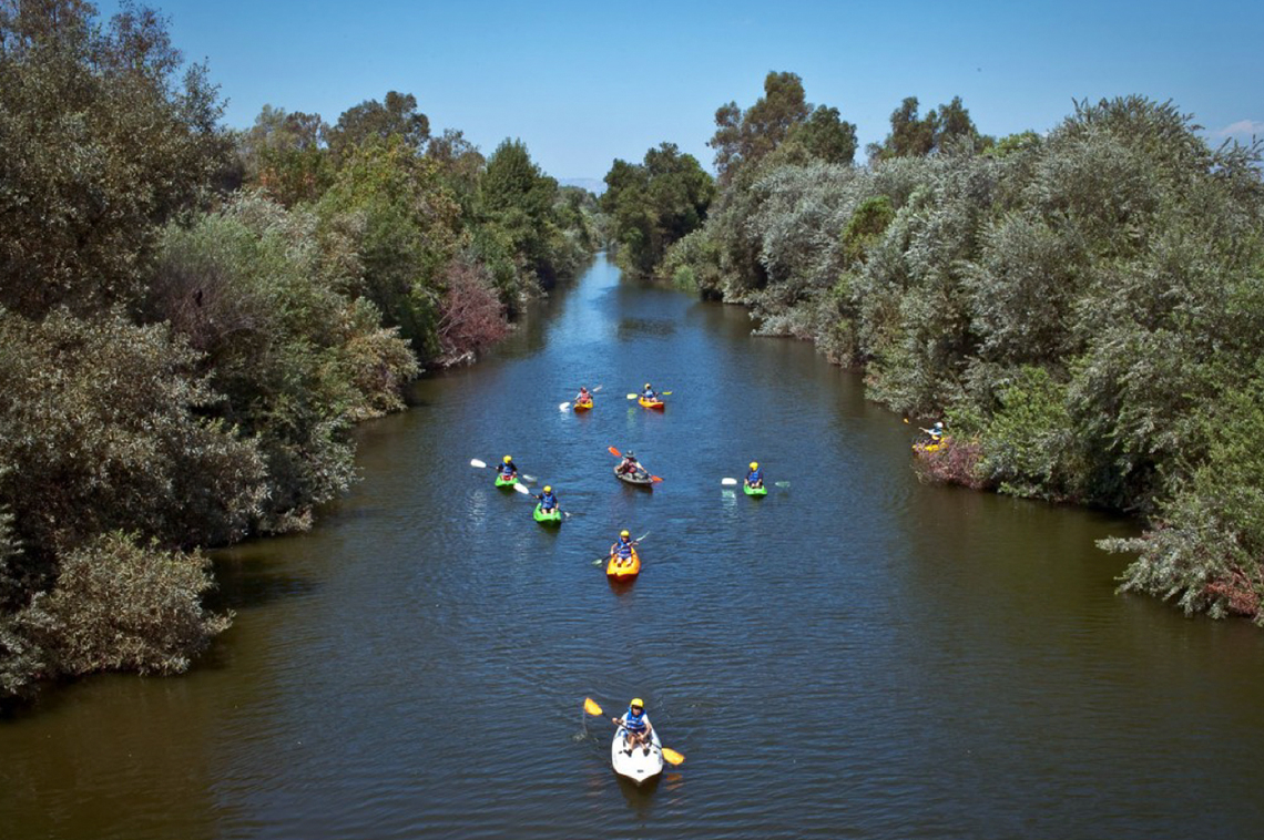
My family is from rural Mexico, from little ranch towns in the states of Zacatecas and Guanajuato. My grandpa was the first to arrive to L.A. for construction work on industrial buildings in downtown L.A., mostly near the L.A. River. My family also has a long history of migrant labor work in the once vast agricultural fields of central California and Orange County, when Orange County was still orange groves and strawberry fields.The connection to the L.A. River is intriguing because it was the flatlands or bottomlands – areas that traditionally flooded due to its low topography. These areas were also sites where ethnic groups concentrated – a result of the city’s policy of redlining minorities, restricting them to poorer neighborhoods and denying them bank loans when they tried to buy homes in other areas.
Q: What motivated you to consider the built environment as a profession?
When people in L.A. think of physical elements of my neighborhood, they often think of freeway interchanges. There are four major freeways that comprise a ribbon of concrete interchanges known as The East L.A. Interchange - the 60, 5, 10, and 101. The post-war construction of these freeways decimated both the physical and social fabric of my East L.A. neighborhood. Communities that were once geographically connected where now divided by large sound walls right behind homes. The same thing happened in San Diego’s Barrio Logan. These actions made an already isolated community that much more isolated. It also led to public health risks like pollution and safety concerns. It wasn’t until I was old enough to see middle-class to affluent areas of L.A. that I realized the role the built environment plays in shaping our communities, especially in Latinx communities. I lived this experience – now I want to help raise more awareness about these issues through applied scholarship.
Q: Your doctoral research at MIT is about ethnic Latinx migration in the suburbs. What are you finding?
Theories about historic migrant settlement patterns tell us that migrants congregate in urban ethnic enclaves in the city center. However, hyper-urban and unequal redevelopment have made it difficult for ethnic migrant groups to remain in the urban core. Suburban and rural areas are now becoming the frontier of migrant resettlement. These new migrant gateways are very important to study because they’re teaching policymakers, designers, and planners about pressing concerns at both a hyper-local level, the struggle local governments face to balance a variety of spatial, social, and economic needs, as well as at a national level, the changing locational balance of ethnic populations. Overall, I’m interested in how migrants influence their built environment, and conversely how the built environment of migrants’ host society shapes their identity. Many of these processes occur outside of a traditional planning process and I believe professionals and scholars need to be aware of these changes before they can be supportive.
Q: How can urban planners, designers, and policymakers adapt? What new frameworks are needed?
American cities are used as an urban development model where everything happens in an urban center and permeates out, but what we’re seeing in places like Los Angeles, Houston, and Atlanta is polycentricism. Right now, there is a concerted effort for branding specific areas or districts of these cities: eco-city, tech city, the cultural city. In our efforts to envision the future of our cities 20-30 years down the road, we tend to forget issues facing current residents. Demographic patterns of ethnic settlement are shifting – and will only become more pronounced as time goes by.
My research speaks to the power of local level municipal governments to be the institutional vanguards of equality, inclusion, and social justice. This matters because land use is place-based. Local administrative context plays an integral role in planning. Small municipalities -- whether they are 5,000 people or 40,000 people – will undoubtedly play a greater role in regional strategies.
Q: Why don’t we look at spatial integration?
I think it’s easy to take it for granted that race and ethnicity are inscribed in the built environment of cities. Moreover, planning tends to take universal “one size fits all” approaches. Planners are entrusted to consider the needs of many competing constituencies all the while managing the allocation and distribution of scarce resources. I’m curious to explore ways planning can operate in a pluralist framework while also incorporating the needs of often marginalized populations – such as Latinx migrants – with regards to how these groups are integrated into urban space.

A blog series by Ebony Mckinney